|
|

|
thesweetcheat’s TMA Blog |
|
49 Adventures - Wansdyke Wandering 28 May 2011
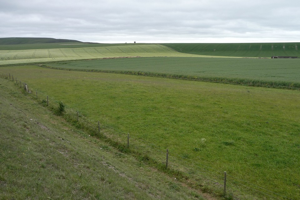
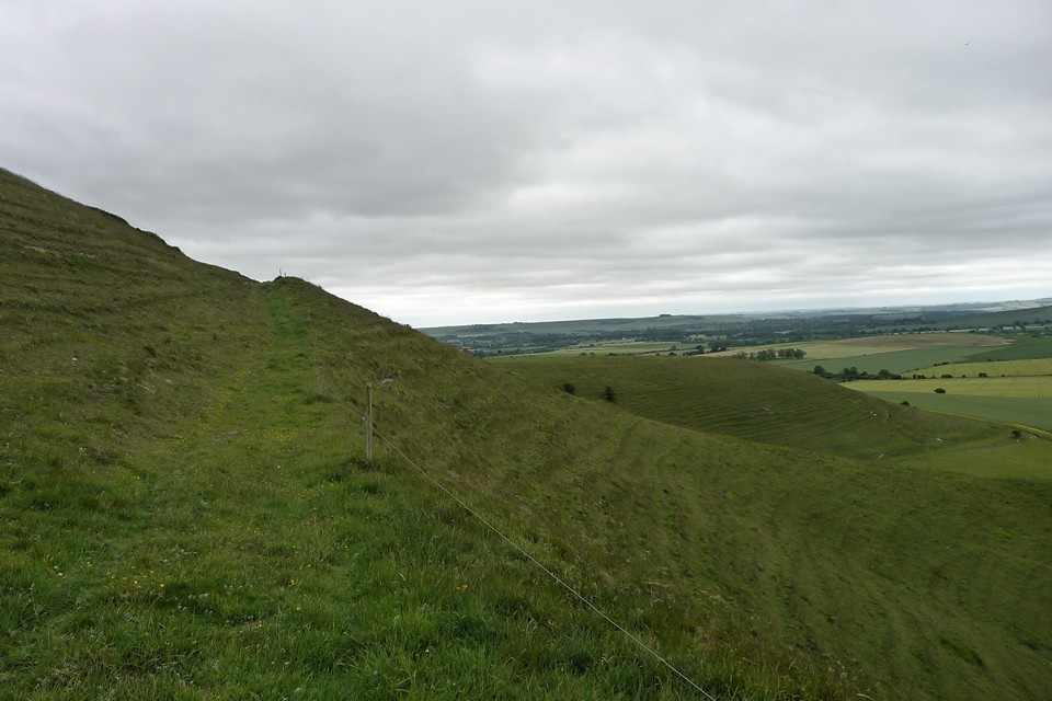
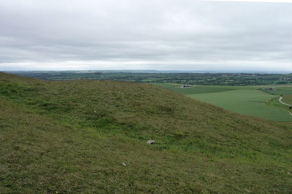
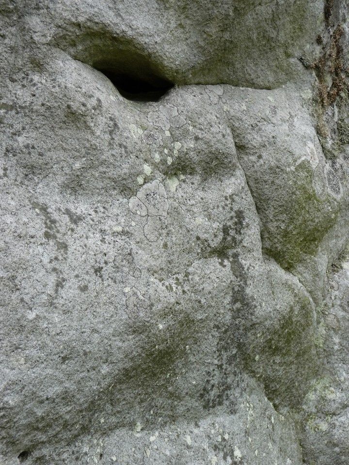
| The previous weekend I used the 49 bus service to walk to Avebury from the north, so a walk from the south seems a fitting follow-up. I get off at Shepherds Shore, the handy point where the post-Roman Wansdyke crosses the A361. There’s a gentle climb up the shoulder of Roughridge Hill, following the earthwork and allowing an unfolding view of Cherhill Down and Oldbury and the extensive North Down barrow cemetery. Cherhill Down and Oldbury — Images17.03.15ce
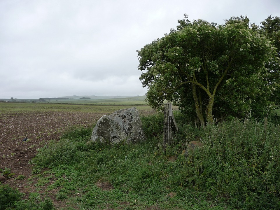
Roughridge Hill — Fieldnotes22.03.15ceThe first stop off is Roughridge Hill long barrow. Well-defined on the OS map, the reality is rather less impressive. Unless you know it’s there, you’d pass by without a glance. All that remains is a low rise in the grassy field, hard up against the edge of the much bigger Wansdyke. The proximity of the dyke may suggest that the long barrow was a reasonably obvious landmark, perhaps a boundary feature, made use of by the earthwork builders when they were planning their route. Sadly it’s not so prominent now, not really worthy of much of a pause as I head across the hill. Two lithe brown shapes dart into my path, then rise on hind legs to survey their route – it’s the first hares I’ve seen this year, always a great pleasure to encounter. Roughridge Hill — Images30.05.11ce
Easton Down — Images30.05.11ce
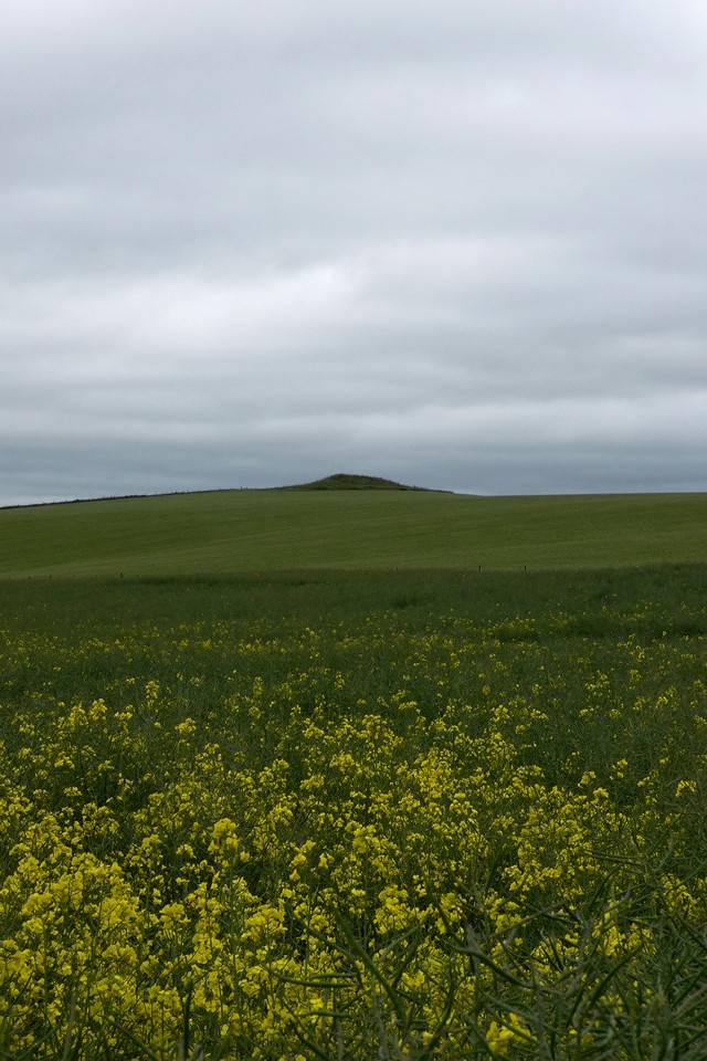
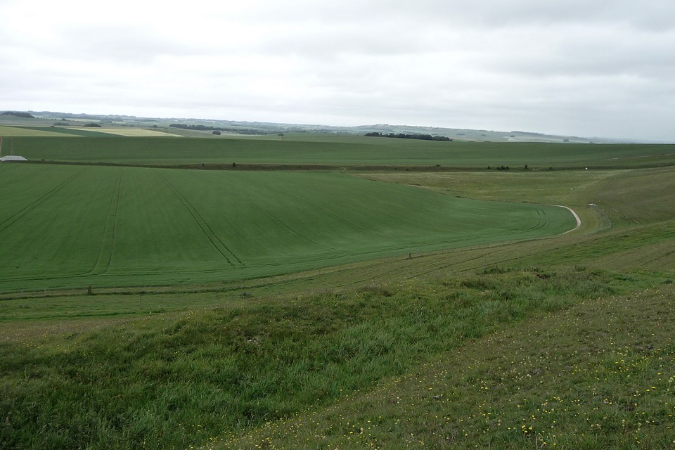
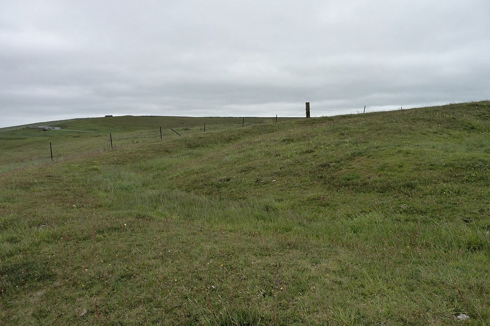
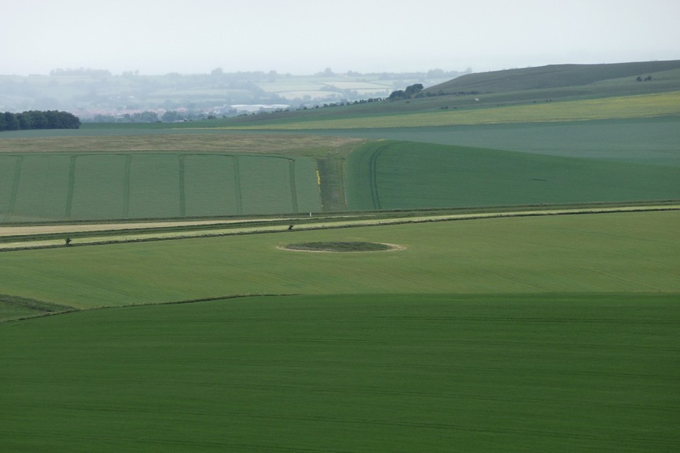
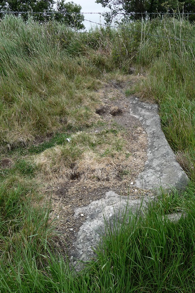
Kitchen Barrow — Fieldnotes22.03.15ceFrom the strip fields there is a great view of Kitchen Barrow Hill to the east. The south-facing scarp is steep and the presence of an intervening dry valley heightens the impression that Kitchen Barrow was placed to be seen from the neighbouring slopes. The area around the barrow is open access land, so there are no complications in getting to the site. Pastscape records show a round barrow to the north of the long barrow, at a point where the fence changes direction. However, although there are several bumps alongside the fenceline, none is particularly obvious or convincing as the round barrow depicted on the OS map. The long barrow is certainly obvious though, 30m or so long and a couple of metres high at its southern tip, with well defined flanking ditches. It lies along the sloping crest of the ridge, with its northeastern end almost blending into the hillside. The views south are extensive, as the ground drops sharply to the farmland and the valley of the Kennet & Avon Canal below. To the west there’s a great view of the multi-phase west end of Tan Hill, where more strip fields lie below a linear prehistoric earthwork and a group of Bronze Age round barrows are silhouetted on the skyline. A good place to stop for a while and let the world turn, especially on a Wiltshire big skies day of fast-moving cloud. Regrettably today’s visit is under a rather more leaden variety. Kitchen Barrow — Images30.05.11ce
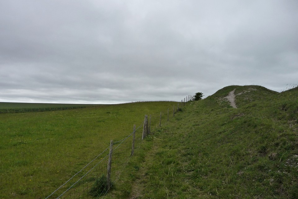
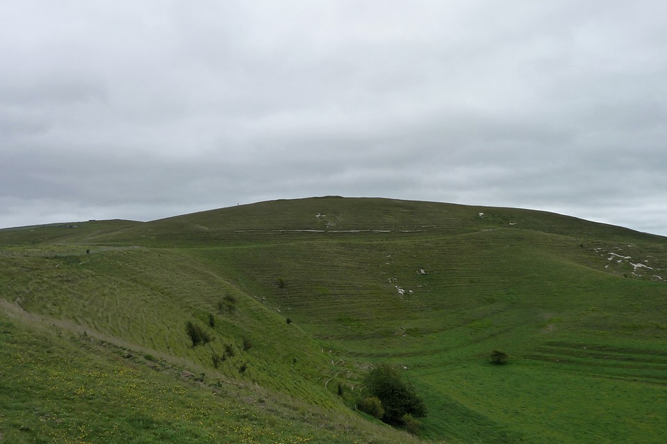
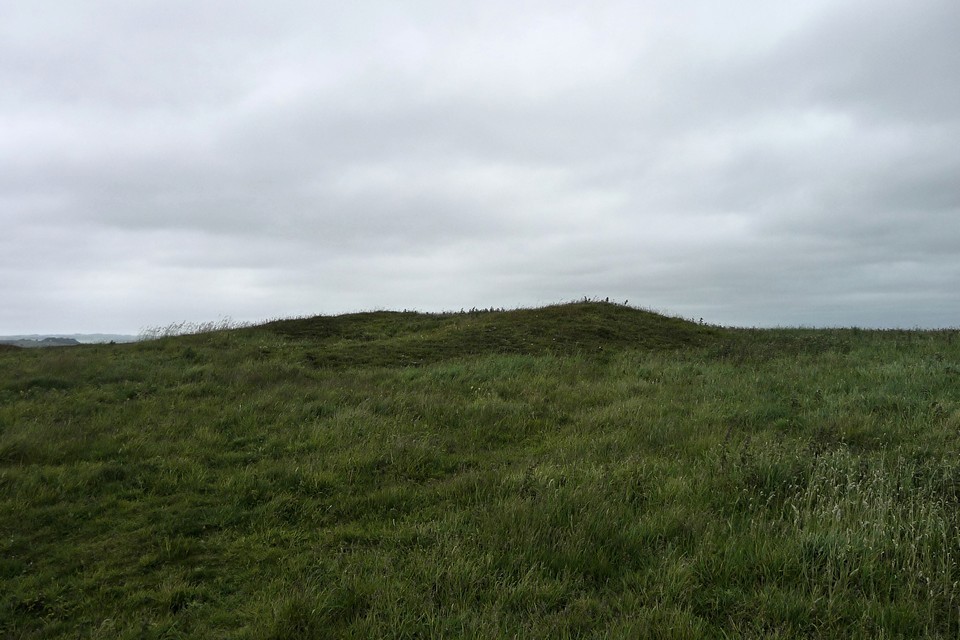
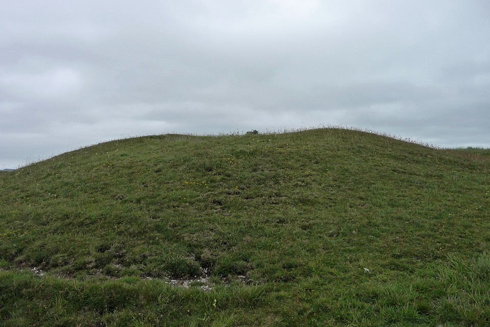
Tan Hill (west) — Fieldnotes22.03.15ceLeaving Kitchen Barrow it’s an easy walk around the rim of the escarpment to the western flank of Tan Hill. The first encounter is with the linear earthwork running just below the top of the slope. Presumably part of the same thinking that constructed a much longer section of bank and ditch on the northwestern side of the hill, it’s pretty well-preserved, with the hillside falling steeply away below it. A bit of further uphill huff and puff and I’m in the midst of the round barrow group that crowns the western spur of Tan Hill, a promontory separated by a narrower neck from the main bulk of the hill to the east. Tan Hill is the second highest hill in Wiltshire, only fractionally lower than nearby Milk Hill and part of the same long east-west ridge. As you’d perhaps expect from such a prominent place, looking out across the downs in all directions, the ridge is covered in a timespan of prehistoric sites from the Neolithic long barrows of Kitchen Barrow at the western end and Adam’s Grave at the eastern end, through numerous round barrows and Iron Age earthworks, with Rybury hillfort on a southern spur. There’s a great view westwards, taking in King’s Play Hill and Morgan’s Hill, each topped with further barrows, as well as the unmistakable Cherhill Down and Olbury with its obelisk. The barrow group includes three bowl barrows, in a NW-SE line, with a much larger disc barrow close to the two northern bowl barrows. All are clearly visible, if rather reduced by ploughing. The bowl barrows (particularly the one at the SE) bear clear excavation damage. They are all covered by sheep-cropped grass, so there’s no seasonal vegetation problem to contend with in a visit. Although it’s the most damaged, the SE barrow is still pretty impressive and boasts very extensive views. The central barrow is bigger, well over a metre high despite the ravages of time and barrow diggers. The NW barrow is the runt of the litter, clinging to its sloping setting like a barnacle. All have well defined surrounding ditches. The adjoining disc barrow is great too, almost 20m across, including its outer bank. All in all well worth the effort of the walk. Tan Hill — Images30.05.11ce
Tan Hill (west) — Images31.05.11ce
Wansdyke is most impressive here, snaking its way across the northern slopes of Tan Hill. There’s also a decent view of a single, large round barrow on Horton Down, surrounded by gallops but covered in a darker green mantle. Horton Down — Images01.06.11ce
Allington Down — Fieldnotes22.03.15ceSadly the barrows on Allington Down have been rather less well-treated than their neighbours up on the ridge. Once a group of six, there’s nothing to see of all but one now. The plough has taken care of the rest. However, the one that does remain is very decent. It’s quite overgrown with nettles and long grass, topped with three shrubby May Trees in bloom, making it difficult to see whether there’s damage to its top. I can see Silbury, peaking out from trees and indicating how far I still have to go to get to Avebury today. So I go. Allington Down — Images01.06.11ce
West Kennett — Images01.06.11ce
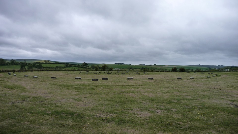
The Sanctuary — Fieldnotes22.03.15ceI visited The Sanctuary once before, on my first trip to Avebury. On a day of first contact with heart-stopping monuments, the concrete-marked circle seemed an anticlimax, a curio and little more. Today I’m more receptive, especially after the long, peaceful walk over the downs to get here. The place is deserted when I arrive, allowing a better appreciation of the layout and in particular the size of the rings. The outer circle is a wide 40m across, as big as almost any stone circle I’ve been to. Although the little concrete blocks are no substitute for stately sarsens or hefty timbers, there’s still much to enjoy here, if you can block out the steady roar of the busy A4 just over the hedge. Looking south across the low Avebury 23 round barrow, the tree-covered form of East Kennett long barrow can be seen from the circles. Such a shame that the original grandeur is lost forever though. The Sanctuary — Images02.06.11ce
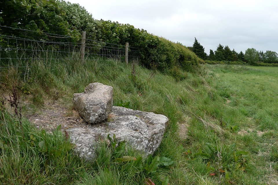
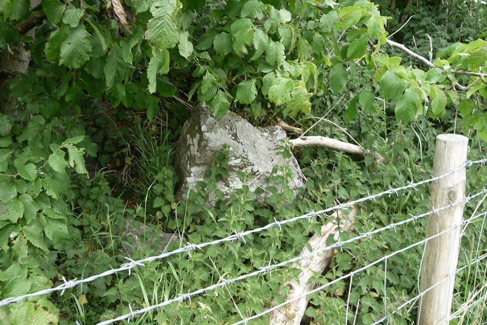
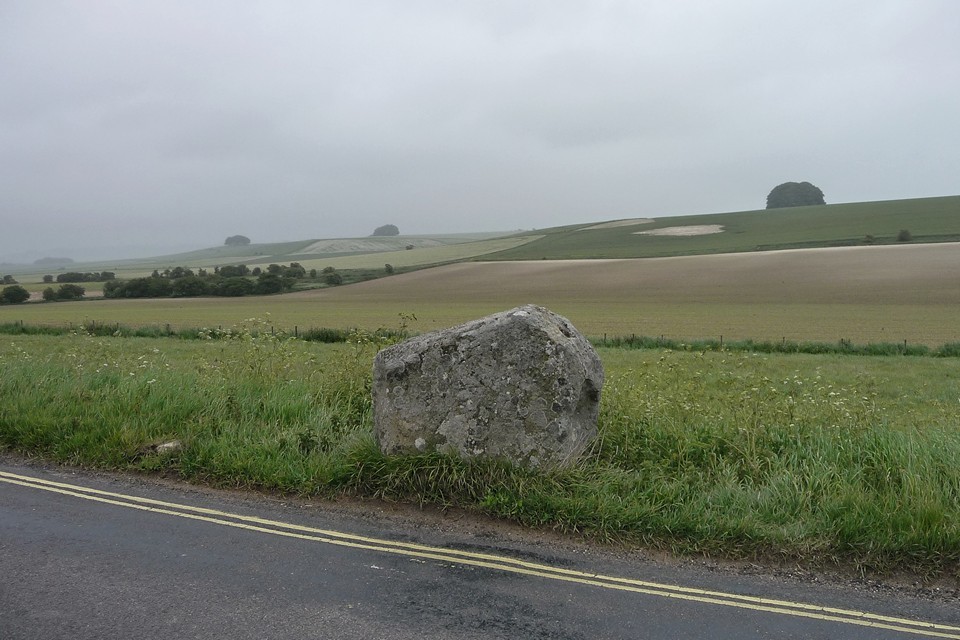
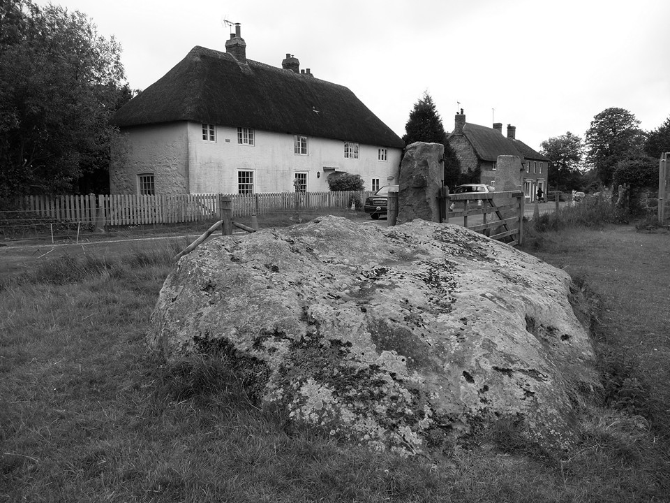
West Kennett Avenue — Fieldnotes22.03.15ceFrom The Sanctuary, a permissive path allows access to the remnants of West Kennett Avenue on the south side of the A4. This part of the monument seems to receive little attention, probably because of its separation from the better preserved section running northwestwards to Avebury. However, it’s well worth a visit to make sense of the relationship of The Sanctuary and the henge complex. The first stone encountered is an enormous fallen slab, jutting out from the hedgeline. Beyond that is another fallen stone, apparently broken with a smaller piece placed on its top. The final stone in this group still stands, buried in the hedge and trapped behind barbed wire. It has been broken, leaving a short stump in place. Screened from the busy A4 by the thick hedge, this is a hidden spot, remarkably quiet for somewhere so close to the Avebury tourist hub. It doesn’t have the atmosphere or obvious draw of the well-known northern section of the Avenue, but it’s another part of the jigsaw that makes up this fascinating landscape. Risking life and limb I cross the A4 onto the B4003, a narrow but busy road that runs parallel with the Avenue on its way to the henge. It’s worth stopping off at the single upright stone, separated from its companions by the road and hedges, looked down upon by the linear cemetery of massive round barrows along the Overton Hill ridge to the east. West Kennett Avenue — Images02.06.11ce
Falkner's Circle — Fieldnotes22.03.15ceBy now the threatening skies of earlier have turned to a persistent drizzle, and contact with any vegetation leads to an immediate soaking. I decide to leave the road and Avenue and instead head east to look for the scant remains of Falkner’s Circle. A path leads round the margin of the field, eventually reaching a gateway where a single standing stone marks the position of the poor old circle. Nettles surround it, neglected and lost, a sad survivor with no-one to talk to. I’d like to come back on a less gloomy day, perhaps in the winter when the nettles have gone. It doesn’t feel like a place to linger today though. Falkner's Circle — Images03.06.11ce
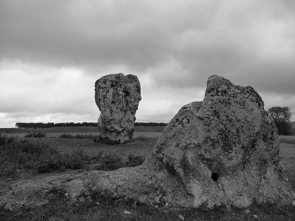
Avebury — Images03.06.11ce
A final embrace with the Cove, and the 49 is back, to take me homewards from another glimpse of the vast landscape surrounding the beating heart of Avebury. |
 Posted by thesweetcheat
22nd March 2015ce Edited 22nd March 2015ce
thesweetcheat's TMA Blog
Latest TMA Blog Posts
|


Comments (9) |
|
|
Good read that, must get back down there soon, have to see the polisher, east kennet LB and windmill hill. In fact if we didn't go Dartmoor I was going Avebury. Is there a 69 bus, I wonder where that would take us. |
 Posted by postman
24th March 2015ce |
|
Thank you! Bit late but there you go. fnarr. |
Posted by thesweetcheat 24th March 2015ce |
| Superb TSC! Thanks for giving my favourite bus a well deserved plug (fabulous views from upstairs). |
 Posted by tjj
24th March 2015ce |
|
Thanks June :) This blog received no funding from Stagecoach or Swindon Council. |
Posted by thesweetcheat 24th March 2015ce |
|
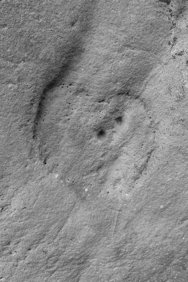
V nice. Have you ever been up to the cup marked stone at fyfield? |
31st March 2015ce |
|
Thanks ED! No, the time I went to see the Polisher I didn't know there was anything else nearby. Is it convincing? Sarsen and cupmarks seems a somewhat unusual combination. |
Posted by thesweetcheat 31st March 2015ce |
|
The pastscape info seems to suggest it's a "possible", difficult to explain as natural (apparently) ;) There is also a horseshoe type carving on the stone as well as a couple of other unusual features. Definitely worth a look and you'll have fun finding it! |
1st April 2015ce |
|
I really enjoyed that. Wish I could walk that route right now. Cheers, TE. |
 Posted by The Eternal
19th April 2015ce |
| Thanks very much TE, it's a fine way to get to Avebury. |
Posted by thesweetcheat 26th April 2015ce |
| You must be logged in to add a comment | |