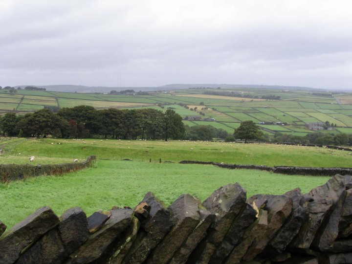
Royds Edge has the big embankments that you would expect, but the lower end seems to square off more than you might expect for a henge. The site is in a fantastic landscape setting with a steep cliff to the south, a great view across the Holme valley towards Castle Hill Fort, and the impressive Meltham Cop.. In a museum in Huddersfield there are the exhibits of an excavation of these earthworks, two stone discs of about 2 inches in diameter, a stone mould and a small while bead.
Oldfield Hill is visable from the road up to Wessenden Head and looks like a settlement of about 2 acres in a sheltered valley.
The earthworks lie either side of Wessenden Head Road between Marsden and Marsden Moor. Maps have variously described the sites as either settlements, homesteads or henges. Both earthworks are on farmland, so permission to visit needs to be requested from the nearby farmhouse.
I last visited the site during the mid 1980's and only had time to see the Royd Edge earthwork. A roughly circular enclosure about ten yards in diameter, with one entrance and now partitioned by a modern drystone wall.
A magnometer survey bu West Yorkshire Archaeological Services follows.
Magnetometer surveys were undertaken at 2 earthwork enclosure sites, to determine whether gradiometry would identify archaeological features on Millstone Grit geology and to find evidence for other domestic activity or a ditched field system outside the main enclosure. Although outwardly similar in form and function, the magnetic responses from the monuments were markedly different. At Oldfield Hill there was virtually no detectable response from the infilled ditch. It was thought that thisprimarily reflected the high percentage of stone in the fill. At Royd Edge the infill was predominantly silty soil and the ditch gave a strong magnetic signal, demonstrating that features could be identified on Millstone Grit geology under the right conditions. Isolated anomalies thought to have been caused by archaeological activity were identified inside both enclosures. There was no geophysical evidence for the continuation of archaeological activity outside of the enclosure at Royd Edge but isolated responses north of the enclosure at Oldfield Hill could have been indicative of further human activity.

 Posted by daveyravey