|
|

|
|
Northern England
|
|
|
|
Sites/Groups in this region:
|
6 posts
49 sites Cheshire |
3 posts
38 sites Cleveland |
42 posts
240 sites Cumbria |
|
37 posts
358 sites Derbyshire |
2 posts
45 sites Durham County |
14 posts
42 sites East Yorkshire |
|
12 posts
109 sites Lancashire |
6 posts
41 sites Leicestershire |
58 posts
44 sites Lincolnshire and Humberside |
|
2 posts
8 sites Merseyside |
57 posts
323 sites Northumberland County |
23 posts
434 sites North Yorkshire |
|
5 posts
8 sites Nottinghamshire |
7 posts
87 sites Shropshire |
2 posts
52 sites South Yorkshire |
|
4 posts
67 sites Staffordshire |
1 post
14 sites Tyne and Wear County |
9 posts
140 sites West Yorkshire |
|
3 sites
York |
Images (click to view fullsize) |
|
|
Links |
|
Abstractions Based on CirclesPapers on prehistoric rock art presented to Stan Beckensall on his 90th birthday Edited by Paul Frodsham and Kate Sharpe. Free download. |
 Posted by ryaner
2nd December 2022ce |
Latest posts for Northern England |
Showing 1-10 of 18,882 posts. Most recent first | Next 10 
Staffordshire — News |
Nottinghamshire metal detectorist unearths rare Bronze Age artefact.https://www.bbc.co.uk/news/uk-england-nottinghamshire-68141029 |
 Posted by The Eternal
31st January 2024ce |
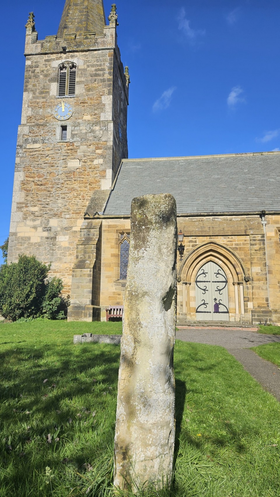
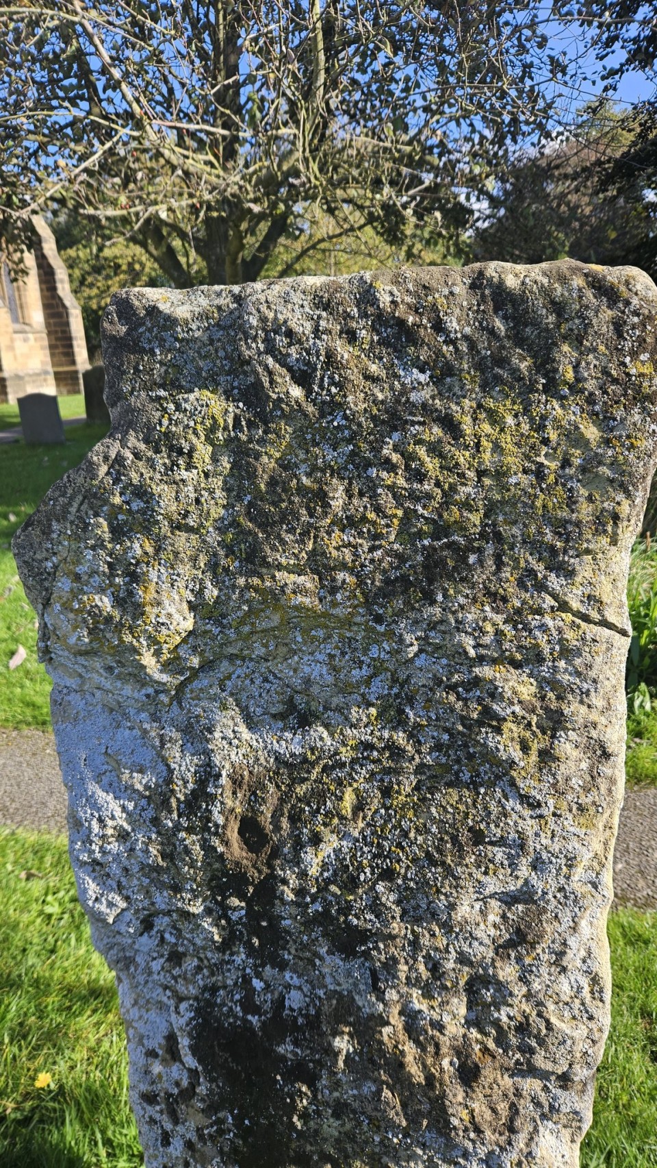
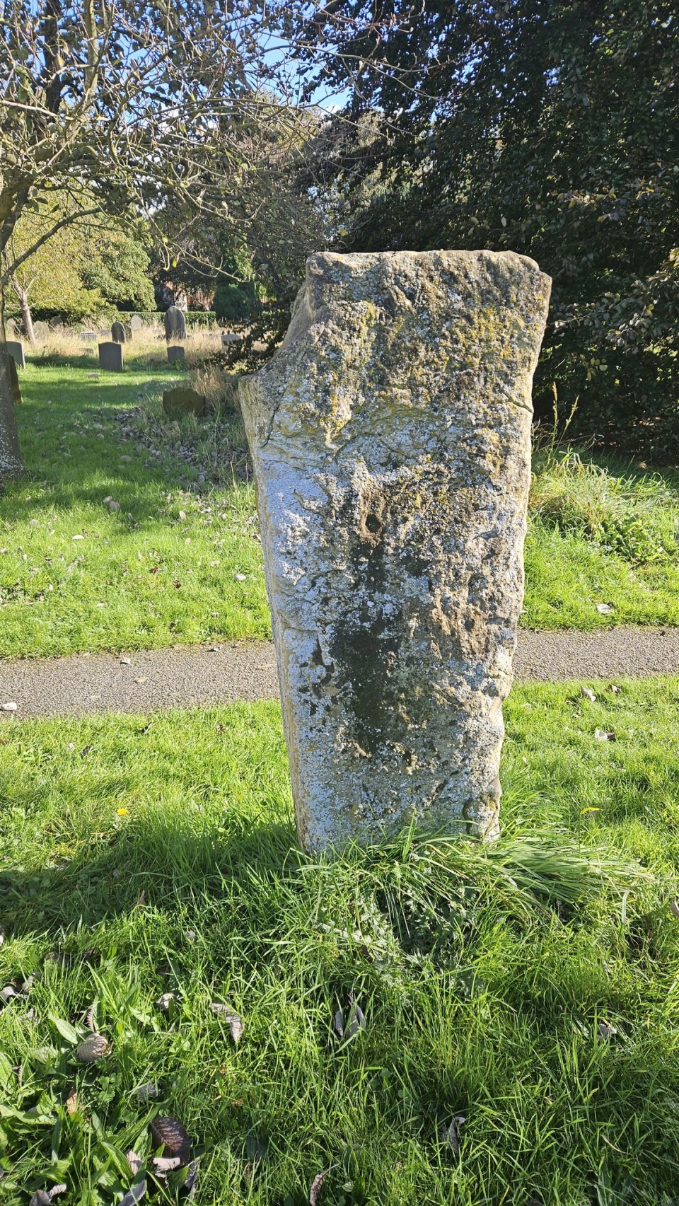
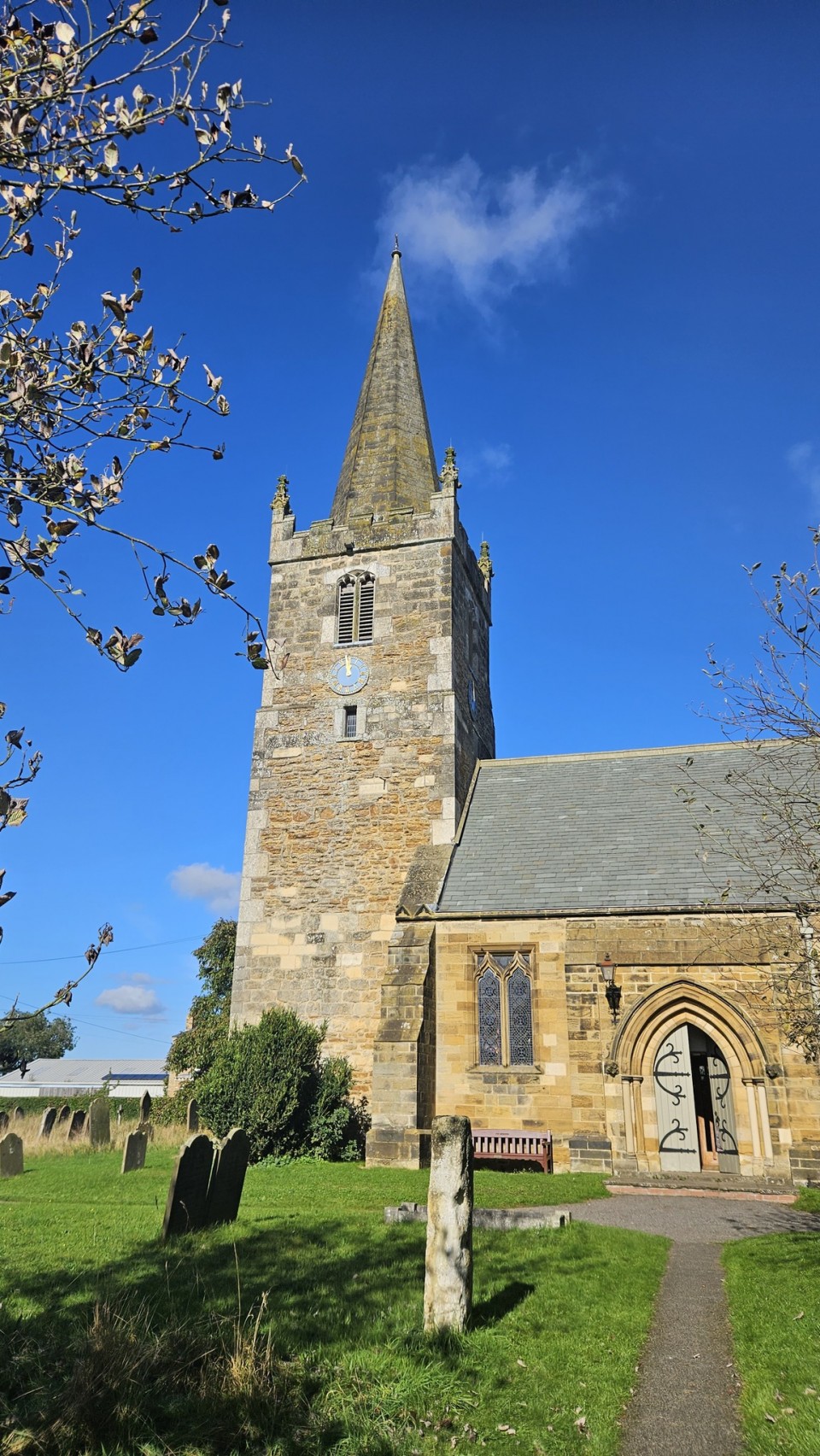
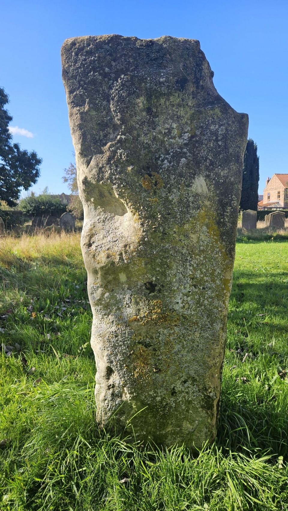
Barmby Moor (Standing Stone / Menhir) — Images (click to view fullsize) |
|
Posted by PTP309 5th January 2024ce |
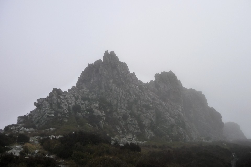
The Stiperstones (Cairn(s)) — Images |
|
 Posted by thesweetcheat
20th December 2023ce |
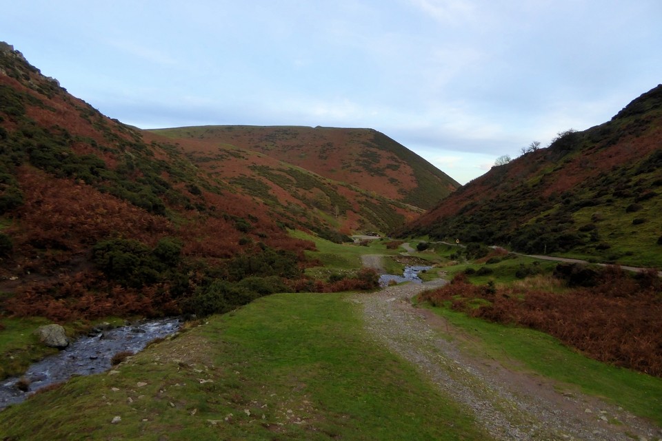
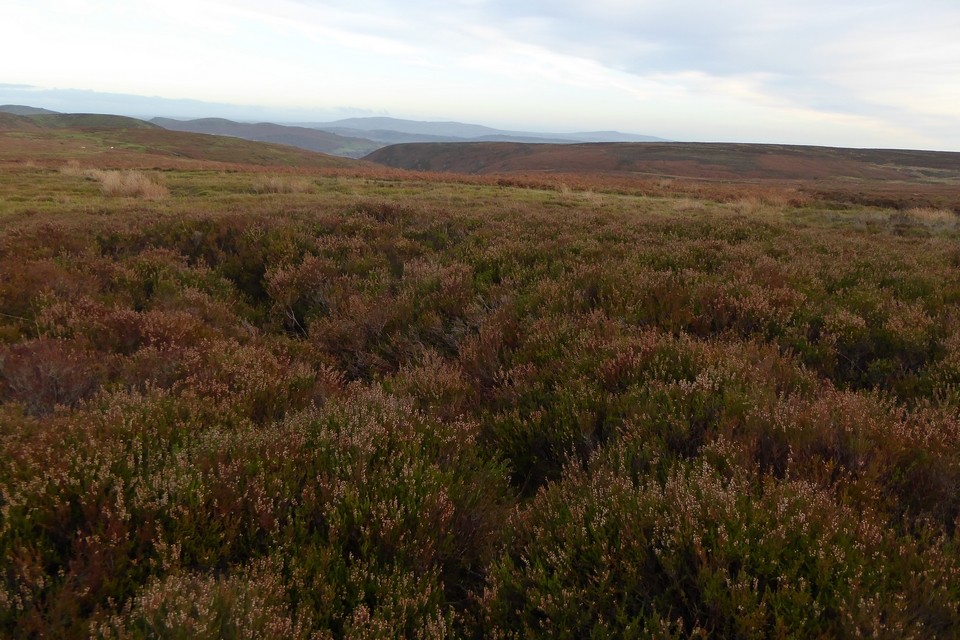
Bodbury Ring (Hillfort) — Images |
|
Posted by thesweetcheat 10th December 2023ce |
Shooting Box barrows (Round Barrow(s)) — Images |
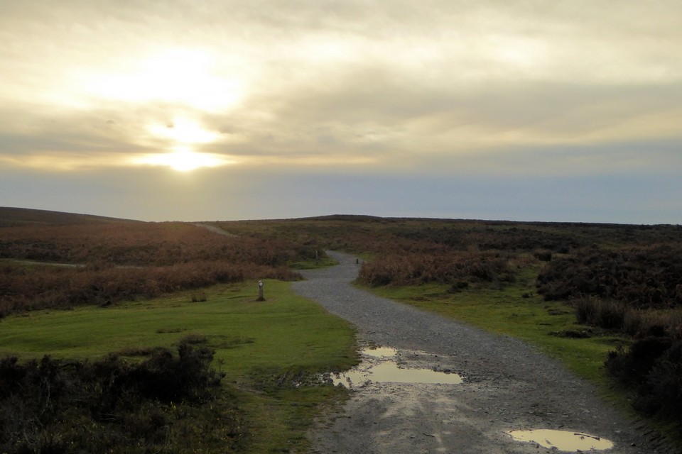 
|
Posted by thesweetcheat 10th December 2023ce |
Showing 1-10 of 18,882 posts. Most recent first | Next 10