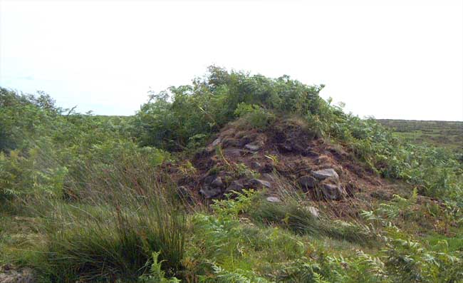
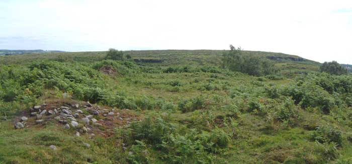
There's not much to see above ground here. But there are some banks about 4ft high, and some apparent hut circles.
The banks are stone and earth, as can be seen clearly at one point where they have been cut through by a more recent track. It's in an eminently defensible place, with a nearby fissure by the name of Long Byres, hinting at the possibility that this was a good spot to keep cattle penned.
In July, the bracken occludes the earthworks, but in winter, at sunset, this will be a much more visually satisfying place. but perhaps not particularly accessible.
Tradition points out Shafto Crags, as a place of the Earl's concealment; a spot in that wild district, which is called "Sawter's [soldier's] Nick," is said to be the place where, by descending a precipitous cliff, he escaped from the sentries who had tracked the noble fugitive to his quarry.
From "Dilston Hall : or, Memoirs of the Right Hon. James Radcliffe, Earl of Derwenter, a martyr in the Rebellion of 1715" by William Sidney Gibson (1850).
The Jacobite uprising in 1715 was the third major attempt to get the descendants of the catholic King James VII of Scotland (II of England) back on the throne - they believed they had the Divine Right to be there. There's plenty of information on the Northumbrian Jacobites website, which mentions the legend that Derwentwater and his brother escaped from the authorities by taking refuge in the caves at Shafto Crags. http://www.northumbrianjacobites.org.uk/index.php
The Scotch Street was generally a mere track-way, though in some boggy places it is paved. Till the Ponteland road was made it was the common road from Scotland, by Elsden, to Newcastle. By some it was called the Salter's-way: hence the term Salter's-nick, which is the name of a narrow pass through the Shaftoe-crags, and which, in 1552, seems to have been called East Shaftoe-dore, where one of the [men of Bolam's] watches was then stationed; and there are curious earth-works.
A mesolithic rock shelter has been found in one of the overhangs on Shaftore Crags, to the NW of the IA/BA settlement.
This fits a vague pattern for this area, usually there is associated rock art, which in this case there is, at Hallion's rock. I've a gut feeling that there would have been a lot more rock art on the crags before they were quarried in the late 18th century. There are a few recorded 'portables' in nearby farms, though perhaps these were once part of the crags. The stone quarried from the crags was used to build almost all of the farms and walls on the Shaftoe estate.

 Posted by Hob
 Posted by Rhiannon