Showing 1-50 of 73 posts. Most recent first | Next 50  
|
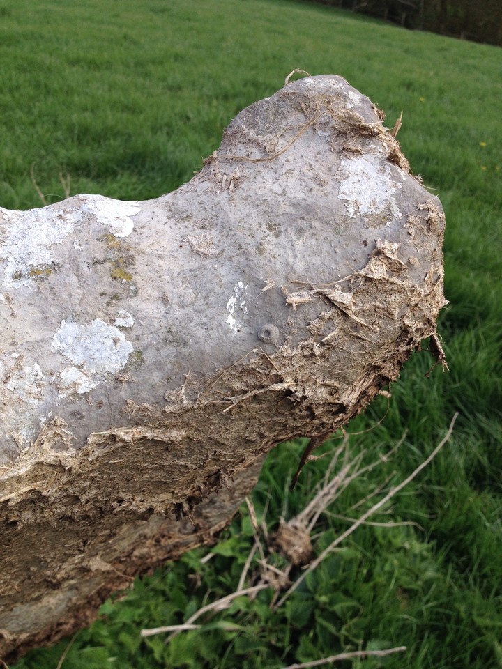
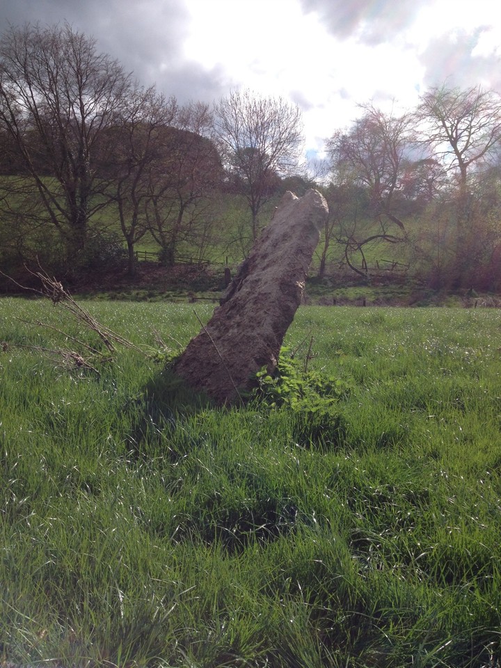
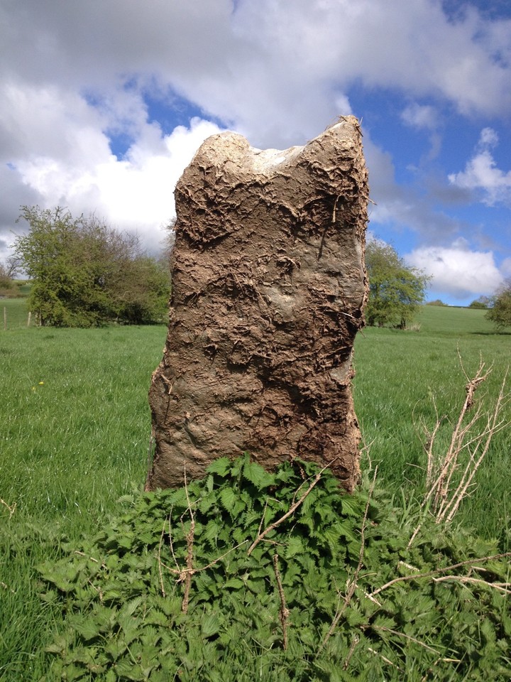
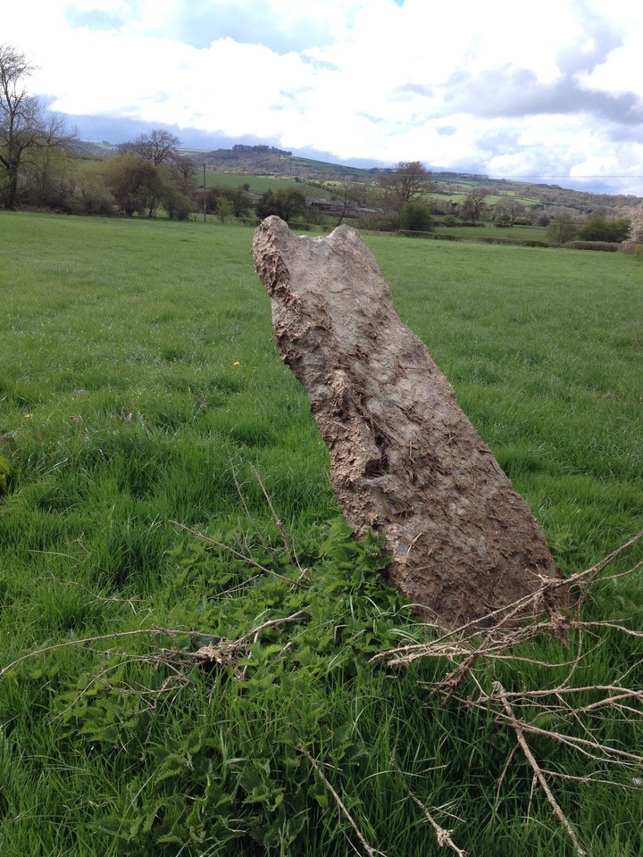
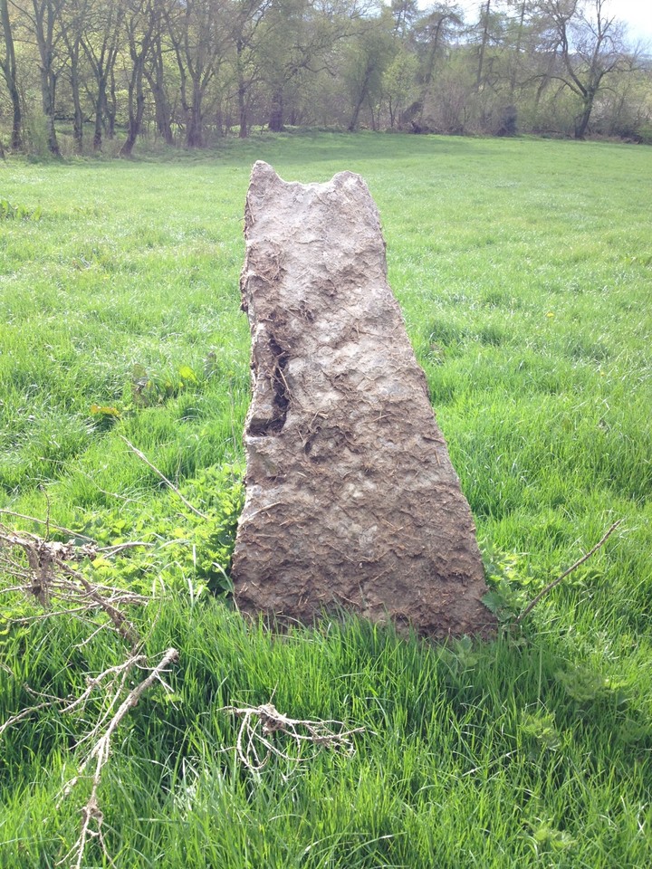
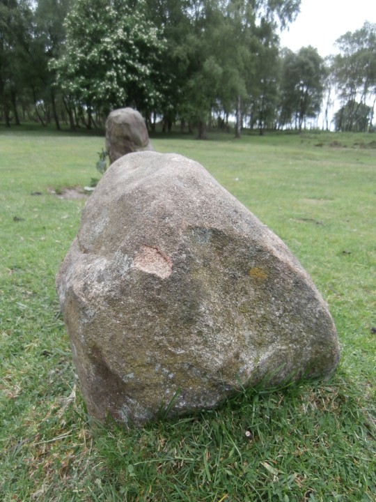
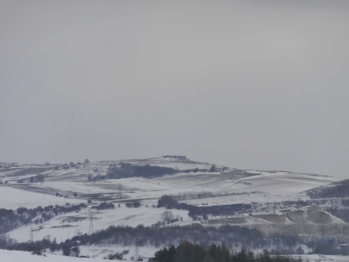
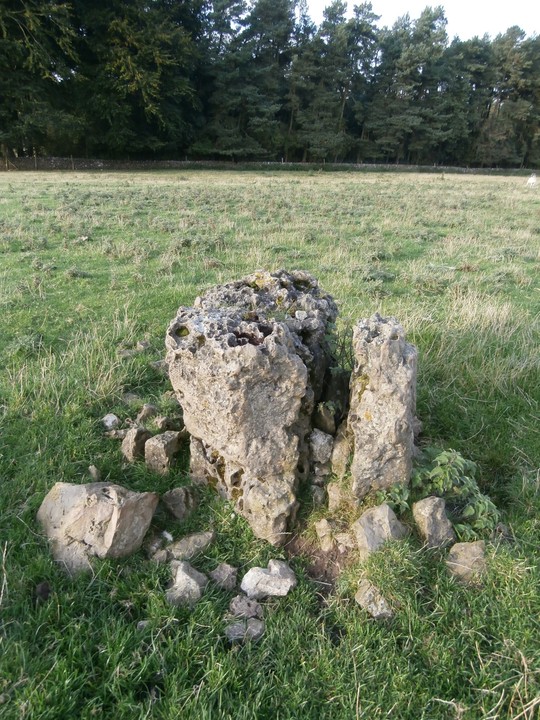
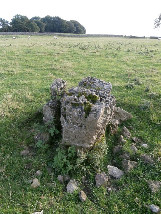
Visited yesterday on the first properly warm day of the year. In a really lovely part of Derbyshire, but not easy to get to and rather lonely, this poor stone is almost entirely covered with dried mud/muck (although who knows when the field was last muck-spread as the grass was pretty long). It was a shame as I couldn't see the crinoids in it (-I love crinoids - if I was going to erect a standing stone, I'd use one full of fossils too! - ), apart from a little tiny one in the top.
Also Bradbourne church is worth visiting too - Saxon cross-shaft and Norman carvings round the door.
|
    
|

|
|
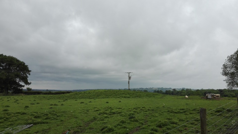
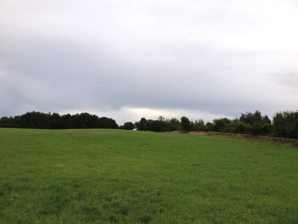
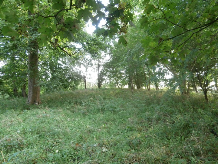
A fairly substantial grassy mound. Easy to find and easy to see (if you know what it is). Also saw a barn owl and an aerobatic display from a biplane so it was even more exciting!
|

|

|

|

|

|

|

|

|
 
|
    
|
 
|

|
I can't believe this site isn't already on TMA as it is so easily accessible, in a beautiful place and it's easy to see the remaining parts of it.
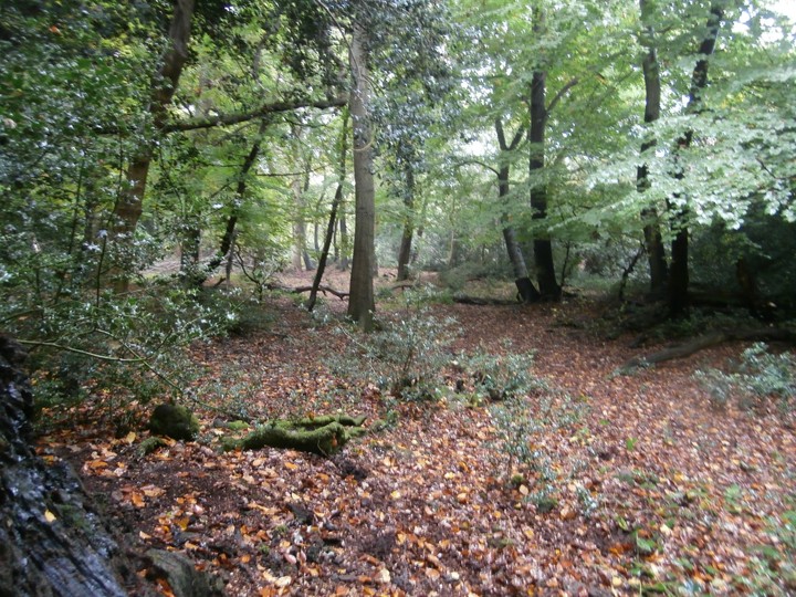
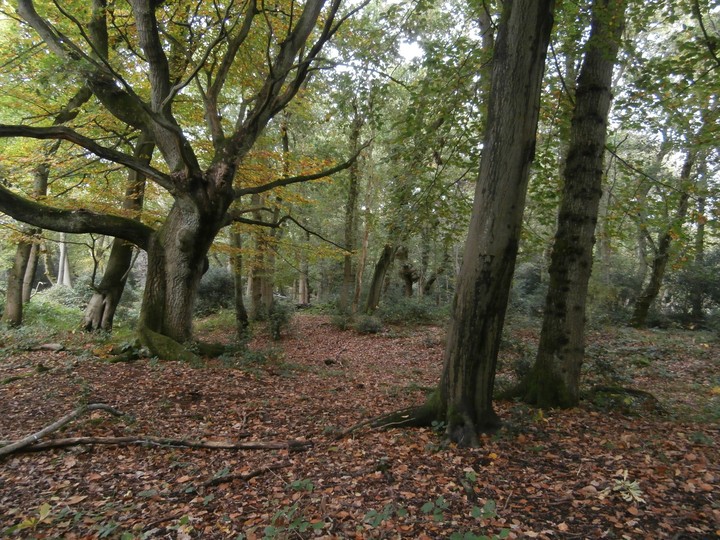
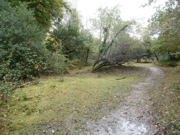
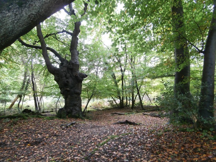
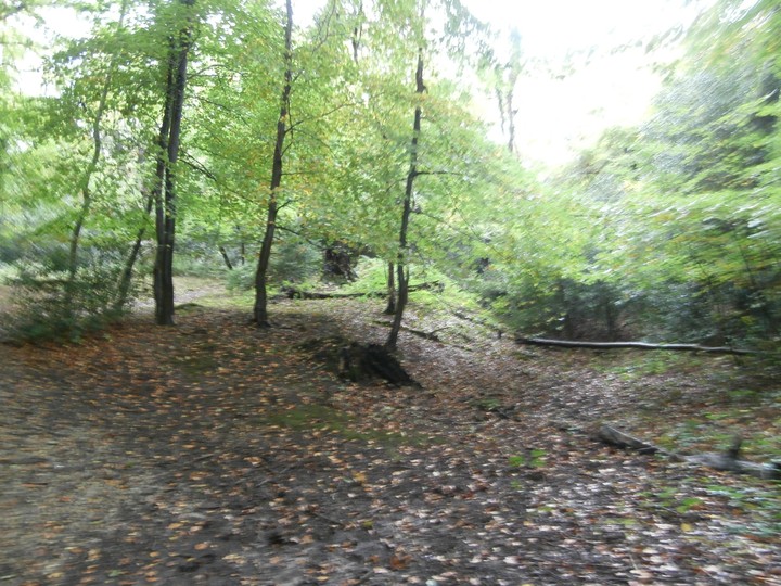
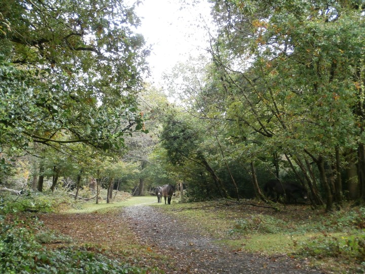
In Burnham Beeches, an ancient woodland full of huge, gnarly, old beech and oak pollards, the hill fort has been quite badly damaged due to quarrying and WWII vehicle activity. The banks and ditches are clear to see where they remain. Beware that this part of the wood is grazed - I saw some very pretty cows, some ponies and a tiny deer (muntjac or Chinese water deer)!
I didn't go there specifically to see this site - the forest alone is worth a visit (especially if you're into large, ancient trees) and the hillfort is an added bonus! The forest feels bigger than it is, I think because you can't see out of it.
Free parking in the week. I expect it gets very busy at weekends. Definitely worth the trip though!
|
    
|

|
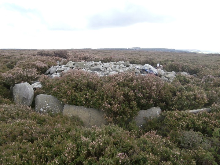
Supposedly two ring cairns next to each other (confusingly called Beeley North South 1 and 2) - this one is the obvious one which is a clear rubble ring once you're on/in it. It's hard to see from a distance though.
The other one should be adjacent, but there's no discernible ring there, although there are some stones on the ground which might mark a bit of it (I forgot to take a photo though!).
|

|
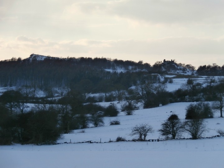
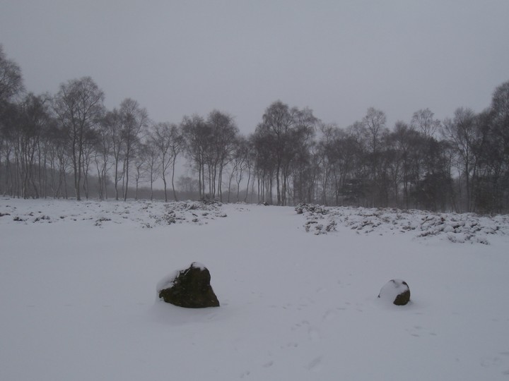
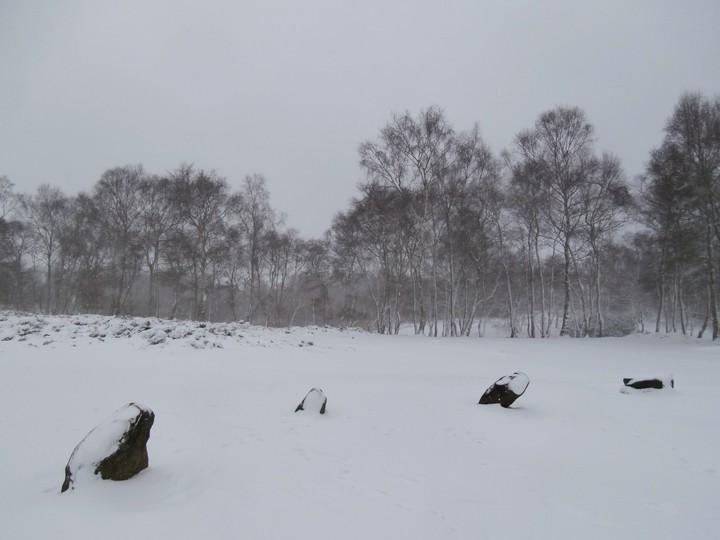
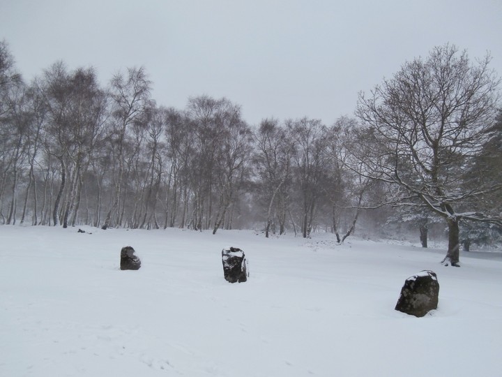
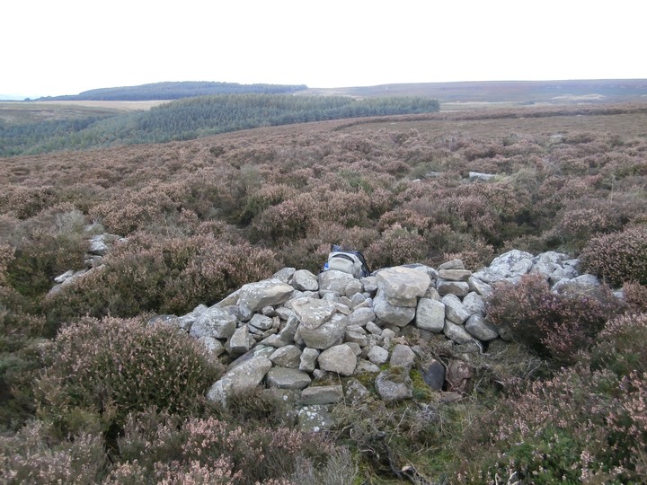
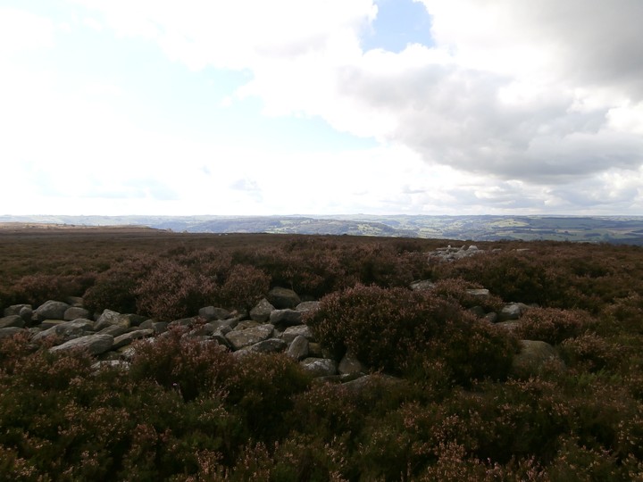
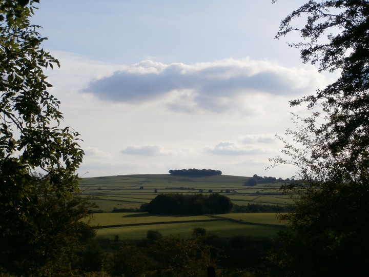
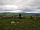
Had a bit of a job finding this as we'd headed too far to the east and ended up amongst lots of quarry lumps and bumps and thigh-high heather (tough going if you have short legs!). We found the triple cairn eventually though and it's unmistakeable once you're there. Wonderful views - barrows galore on the horizon.
The disused quarry for parking is at SK 282662 not SK 282684 as stated below. There is also a little layby further along the road to the west.
|
| |